2024·01
“Dynamic Urban Thresholds: Relationships between Form and Activities in Porta Ticinese, Milano”
Journal of Urban History
DOI: https://doi.org/10.1177/00961442231221826
The article approaches the dynamic condition of the urban form and activities of the so-called “urban thresholds,” spaces located in between different city fabrics. The study is based on a comparative analysis of seven maps representing key historical moments of Porta Ticinese’s area in Milano from 1807 to 2022, produced through geographical information system-based reconstruction techniques of original cartographies. The article discusses and provides graphic analysis of how time influences the spatial form of these spaces and the character of the activities, highlighting the strong correlation between them. The research explains how the geometry is in a constant process of consolidation, and how the activities, despite being different in each period, tend to share a similar character linked to formal or ephemeral transaction areas both at the metropolitan scale and local scale. The article concludes with a description of these spaces as eloquent examples of a unique “interstitial urbanity.”
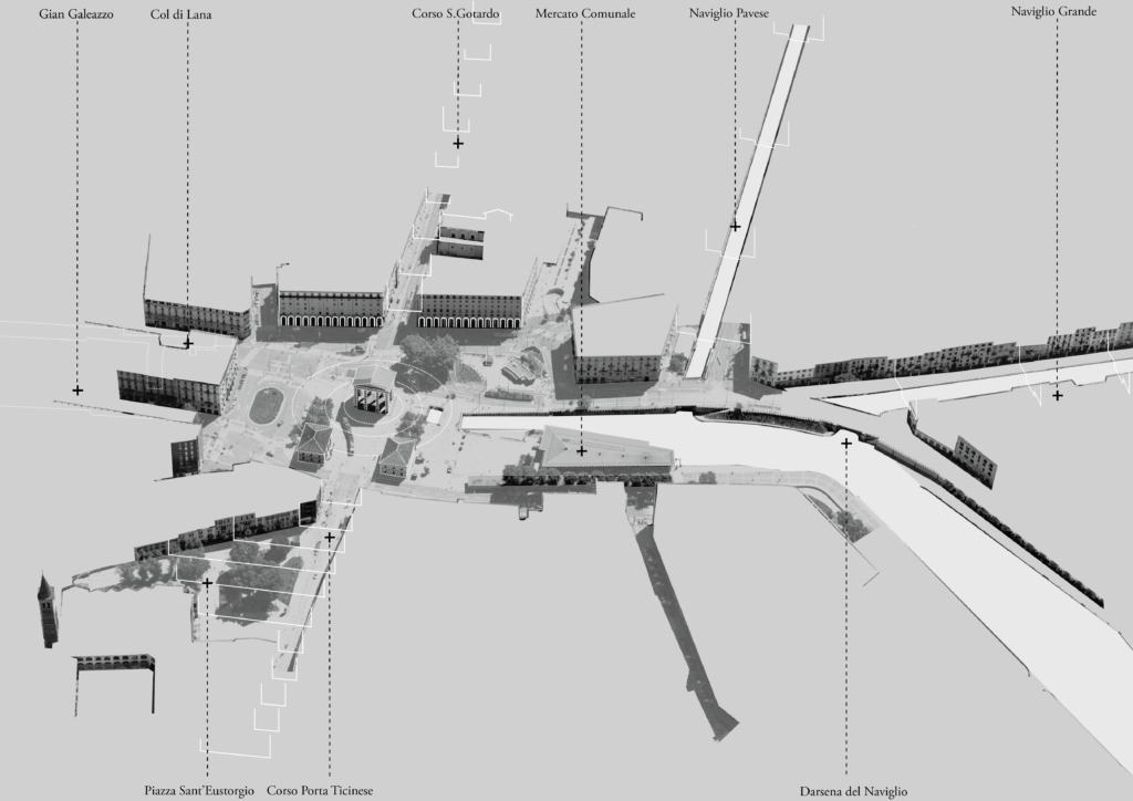
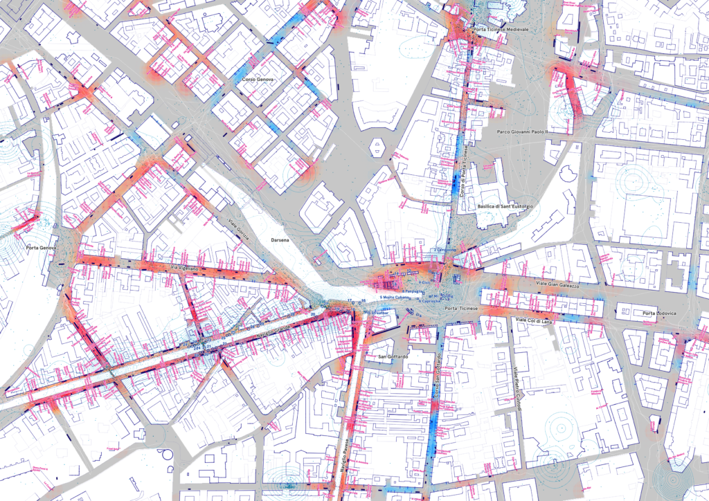
Aerial view of Porta Ticinese (Piazzale XXIV Maggio) and the Darsena in 2022. Source: The author.